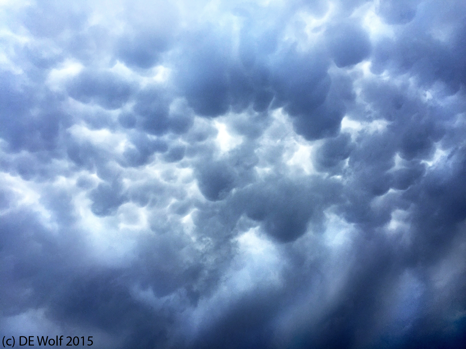
Figure 1 – Mammatus clouds over Cambridge, MA, August 4, 2015, and in the wake of a cyclonic storm over Woburn, MA.
Two years ago, almost to the day, I blogged about mammatocumulus or mammatus clouds. Mammatus clouds (named because they look like breasts or mammary glands) are patterns of cloud pouches seen bubbling beneath the base of larger clouds. They form following sharp gradients of temperature, moisture, and wind shear. They can extend for hundreds of miles, and yes, they can mean trouble! I remember thinking at the time, “Oh how beautiful and that these would be spectacular to photograph.”
Fast forward, as Figure 1 illustrates today I got my chance. A colleague came into my office to announce that he had just seen on the web that a funnel cloud had been spotted over Woburn, MA, which is northeast of Cambridge. I looked out the window and said, “Hey! Those are mammatus clouds.” We all headed outside (me camera in hand) and were treated to a glorious display of cloud formations and a dark, ominous, and churning sky. My best pictures were taken with my IPhone because of its wide angle. I can now say that I have not only seen but photographically conquered mammatocumulus and they totally lived up to my expectations.
